Log in
All resources
Create a design
9,296 Free Artworks of Map Collection
bibliothèque nationale de france
eran laor cartographic collection
maps of spain by tomas lopez
joan blaeu
latin-language maps
copper engraving print
british library
french-language maps
national library of poland
textile and oil painting on canvas
dutch baroque architecture
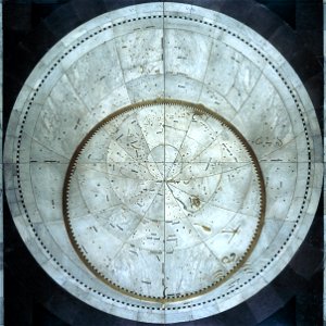
planispheres
maps of switzerland by johann jakob scheuchzer
1712 maps
victor levasseur - maps of the world
historical images of arecaceae
turgot map of paris, david rumsey historical map collection – derivative files
historical images of the hôtel des invalides
atlas vingboons
1665
maps of dunkerque by braun & hogenberg
maps of bourbourg by braun & hogenberg
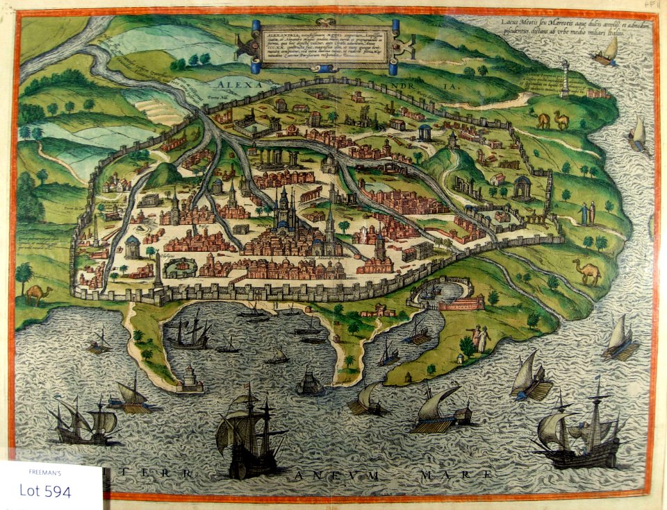
vrbivm praecipvarvm totivs mvndi (1612)
maps of urbino by braun & hogenberg
17th-century maps of the mediterranean sea
ships on maps
maps by edward wright
molyneux globes
paintings by antônio parreiras in the museu antônio parreiras
paintings of nude females by antônio parreiras
paintings by antônio parreiras in the museu antônio parreiras
paintings of nude females by antônio parreiras
portrait paintings of men in the rijksmuseum amsterdam
american paintings in the rijksmuseum amsterdam
eran laor cartographic collection
pierre françois tardieu
eran laor cartographic collection
gerard valck
17th-century maps of the indian ocean
bodleian maps collection
maps of paris from bibliothèque nationale de france
dheulland map of paris
maps of paris from paris musées
dheulland map of paris
maps of spain by tomas lopez
1766 maps of spain
maps of spain by tomas lopez
1783 maps of spain
maps of spain by tomas lopez
1783 maps of spain
maps of spain by tomas lopez
old maps of castile and león
maps of spain by tomas lopez
old maps of castile and león
maps of spain by tomas lopez
old maps of extremadura
maps of the province of ávila
maps of spain by tomas lopez
maps of spain by tomas lopez
1766 maps of spain
maps of spain by tomas lopez
old maps of extremadura
maps of groningen by braun & hogenberg
maps of gorinchem by braun & hogenberg
maps of spain by tomas lopez
1783 maps of spain
maps of spain by tomas lopez
old maps of castile and león
maps of spain by tomas lopez
1783 maps of spain
maps of spain by tomas lopez
old maps of castile and león
maps in the british museum
james basire
maps by alexis-hubert jaillot
robert cordier (engraver)
sanson maps of the netherlands
maps by alexis-hubert jaillot
18th-century maps of the philippines
baroque painting
maps by alexis-hubert jaillot
robert cordier (engraver)
hoogheemraadschap rijnland map, 2nd edition, 1687
cornelis danckerts (ii)
eran laor cartographic collection
guillaume sanson
eran laor cartographic collection
giovanni maria cassini
eran laor cartographic collection
giovanni maria cassini
pacific ocean in art
ships on maps
atlas maior, vol 1 (northern europe, norway, and denmark) - joan blaeu, 1667 - bl 114.h(star).1
17th-century maps of iceland
atlas maior, vol 5 (england) - joan blaeu, 1667 - bl 114.h(star).5
17th-century maps of yorkshire
atlas maior, vol 2 (sweden, russia, poland, eastern europe, and greece) - joan blaeu, 1667 - bl 114.h(star).2
17th-century maps of prussia
atlas maior, vol 2 (sweden, russia, poland, eastern europe, and greece) - joan blaeu, 1667 - bl 114.h(star).2
17th-century maps of scandinavia
atlas maior, vol 2 (sweden, russia, poland, eastern europe, and greece) - joan blaeu, 1667 - bl 114.h(star).2
old maps of macedonia
atlas maior, vol 5 (england) - joan blaeu, 1667 - bl 114.h(star).5
17th-century maps of yorkshire
atlas maior, vol 5 (england) - joan blaeu, 1667 - bl 114.h(star).5
17th-century maps of yorkshire
atlas maior, vol 7 (france i) - joan blaeu, 1667 - bl 114.h(star).7
1667 maps
paintings by antônio parreiras in the museu antônio parreiras
paintings of seascapes by antônio parreiras
old maps of nassau
salomon rogiers
plan de la ville et faubourg de paris, divisé en ses 48 sections by mondhare & jean
maps of paris from the stanford libraries
1640s maps of the world
maps from gallica
pieter verbiest (ii)
maps from gallica
maps of loudun
mirebalais
brazilian paintings in the museu antônio parreiras
antônio rafael pinto bandeira
latin-language maps of africa
nicolas picart
civitates orbis terrarvm, liber primvs (1577)
maps of nuremberg by braun & hogenberg
maps of the dutch east india company - sri lanka
1750
civitates orbis terrarvm, liber primvs (1577)
maps of diu by braun & hogenberg
civitates orbis terrarvm, liber primvs (1577)
maps of braunschweig by braun & hogenberg
old maps of toledo, spain
1580s maps of spain
johann friedrich walther
1738 in berlin-mitte
theatri praecipvarvm totivs mvndi vrbivm : liber sextvs (1618)
maps of york by braun & hogenberg
old maps of the dutch east india company - africa
1665
theatri praecipvarvm totivs mvndi vrbivm : liber sextvs (1618)
maps of heilbronn by braun & hogenberg
maps of wissembourg by braun & hogenberg
maps of colmar by braun & hogenberg
prints in the metropolitan museum of art
maps of alexandria by braun & hogenberg
hamburgische elbkarte von melchior lorichs
parts of old maps of hamburg
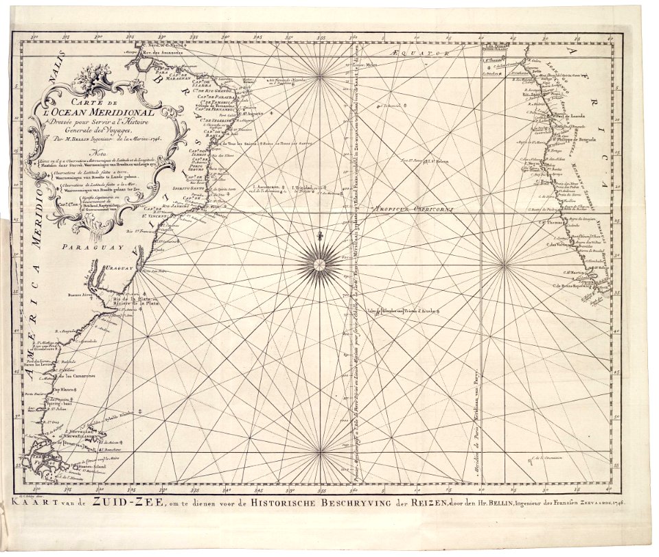
1770s maps of the americas
maps by tomas lopez
map of italy by guillaume delisle (1700)
1700s maps of italy
1770s maps of the americas
maps by tomas lopez
maps from the mechanical curator collection available to georeference
maps from the mechanical curator collection
la rioja (spain) in the 18th century
old maps of la rioja (spain)
17th-century maps of the netherlands
maps of the wadden sea
map of the upper rhenian circle by sanson
maps by nicolas sanson
17th-century maps of crete
old maps of candia
landais & oberthur
maps from gallica
maps in the british museum
old maps of leeds
eran laor cartographic collection
alain manesson-mallet
eran laor cartographic collection
edward weller
eran laor cartographic collection
hendrik hondius the younger
eran laor cartographic collection
william hughes (geographer)
eran laor cartographic collection
william henry toms
eran laor cartographic collection
pierre mortier
eran laor cartographic collection
william henry toms
eran laor cartographic collection
william hughes (geographer)
eran laor cartographic collection
prints after jan peeters (i)
eran laor cartographic collection
hendrik hondius the younger
eran laor cartographic collection
alain manesson-mallet
eran laor cartographic collection
joan blaeu
eran laor cartographic collection
william hughes (geographer)
eran laor cartographic collection
hendrik hondius the younger
eran laor cartographic collection
prints after jan peeters (i)
eran laor cartographic collection
william hughes (geographer)
eran laor cartographic collection
willem blaeu
maps of rottnest island
daisy bates
cornell: persuasive cartography: the pj mode collection
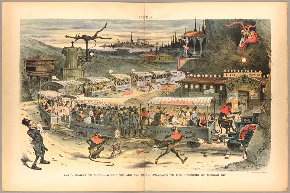
cartoons by joseph keppler
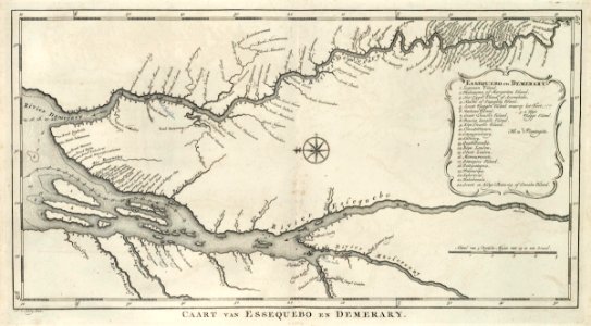
maps of the west-indische compagnie
1770 maps
maps of the west-indische compagnie
1747 maps
2601 - 2700 of 9,296
Next page
/ 93